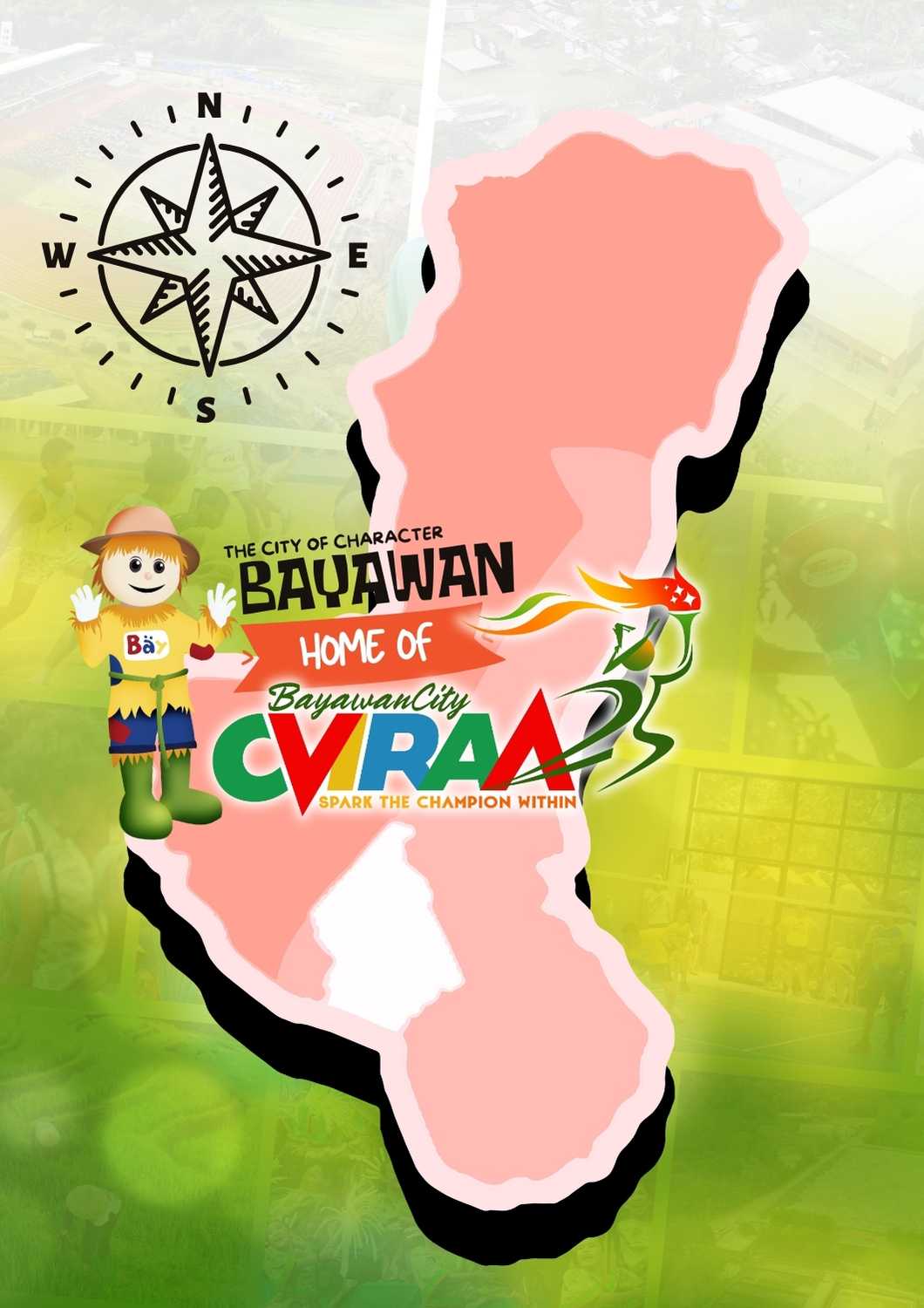
 Dayon Kamo sa Bayawan City!
Bayawan City is a First-Class Component City in the 3rd Congressional District of the Province of Negros Oriental, Philippines located in the southwestern portion of the island. It became a component city of Negros Oriental on December 23, 2000.
It is composed of twenty-eight (28) barangays with a total land area of 69,908 hectares, the largest in Central and West Visayas. Bayawan accounts for 13% of the province's total land area which is twice the size of the whole Siquijor Province (Island). It has a population of 122,747 (2020 PSA Data) with an average annual growth rate of 0.85%. Mabinay bound it to the north, Sta. Catalina to the east, Tanjay City to the southeast and Basay to the west. It also shares a boundary with Kabankalan City of Negros Occidental on the northwest. Bayawan City has a relatively short coastline of 15 kilometers west to east and comprising seven (7) coastal barangays running a stretch of almost 60 kilometers from the south coast going to the northernmost portion where the "longest boulevard in the Philippines" is located.
The City of Bayawan is subdivided into three development zones namely the urban area, sub-urban area, and rural area. The urban area constitutes only 2.3% (1,573 hectares) of the city's total area and contains the main institutional, commercial and central business district of the city. It functions as the main economic hub of the city with economic growth nodes established in strategically located barangays in the hinterlands. The sub-urban area is about 10,260 hectares or 14.7% of the total area and is set to contain the agro-industrial zones, industrial zones and human settlements. The existing industrial activity (lime plant), the establishment of saw mills, and the identified industrial zone in the area show the natural pattern of development. Residential zones are considered in the sub-urban area to provide settlements for the people in the commercial center and in the industrial zones. The rural area accounts for the large 83.1% of the city's total land area and is basically agricultural however; urban barangays are identified to contain a high level of commerce, trade being the economic growth nodes of the city. These growth nodes are singled out due to their strategic geographic location while other rural barangays are mainly agricultural production areas.
Bayawan has always been known as the "Rice Granary of Negros South." Her vast plains have seen glorious days of prolific rice harvest. Today, Bayawan City is known as the Agricultural Capital of the Province of Negros Oriental. As an Agricultural City, a better production yield is always anticipated, and the presence of the "Tawo-Tawo" or scarecrow has always been a great help to the farmers for several decades. This farmer's creation (others call it ingenuity) has resulted to achieve bountiful yield during harvest - for the "Tawo-Tawo" had been known to be a effective great scare to drive away the pesky little birds the natives call "Maya" that feed on the ripening golden rice grains. Thus, the birth of the "Tawo-Tawo Festival."
ABOUT BAYAWAN


